Veredas de Monchique #2
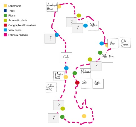
As lots of research and designing needs to be done – we need a big map to place all the information on to see where what needs to be done and share the work efficiently between the team of 5 or 6.

Big map of Caldes walk and next actions to take:
- all information attached we have
- all information we still need
- more accurate marking of the map
- Altitude map
- GPS (run keeper app) graph generation
- Specification – Level 2 (define levels)
- Legend for map
Visualise and first ideas for other materials
- Sell-able book
- Kid’s explore sheet
- Experience & themes e.g. Ghosts stories, Health plants, local produce.

Trackbacks / Pingbacks